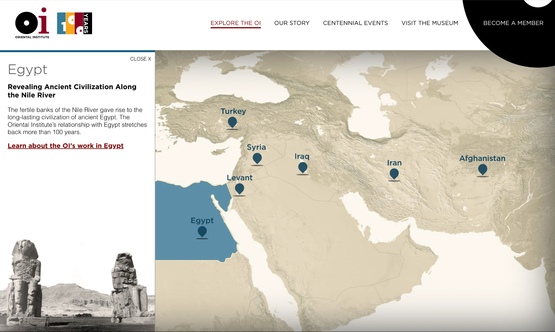
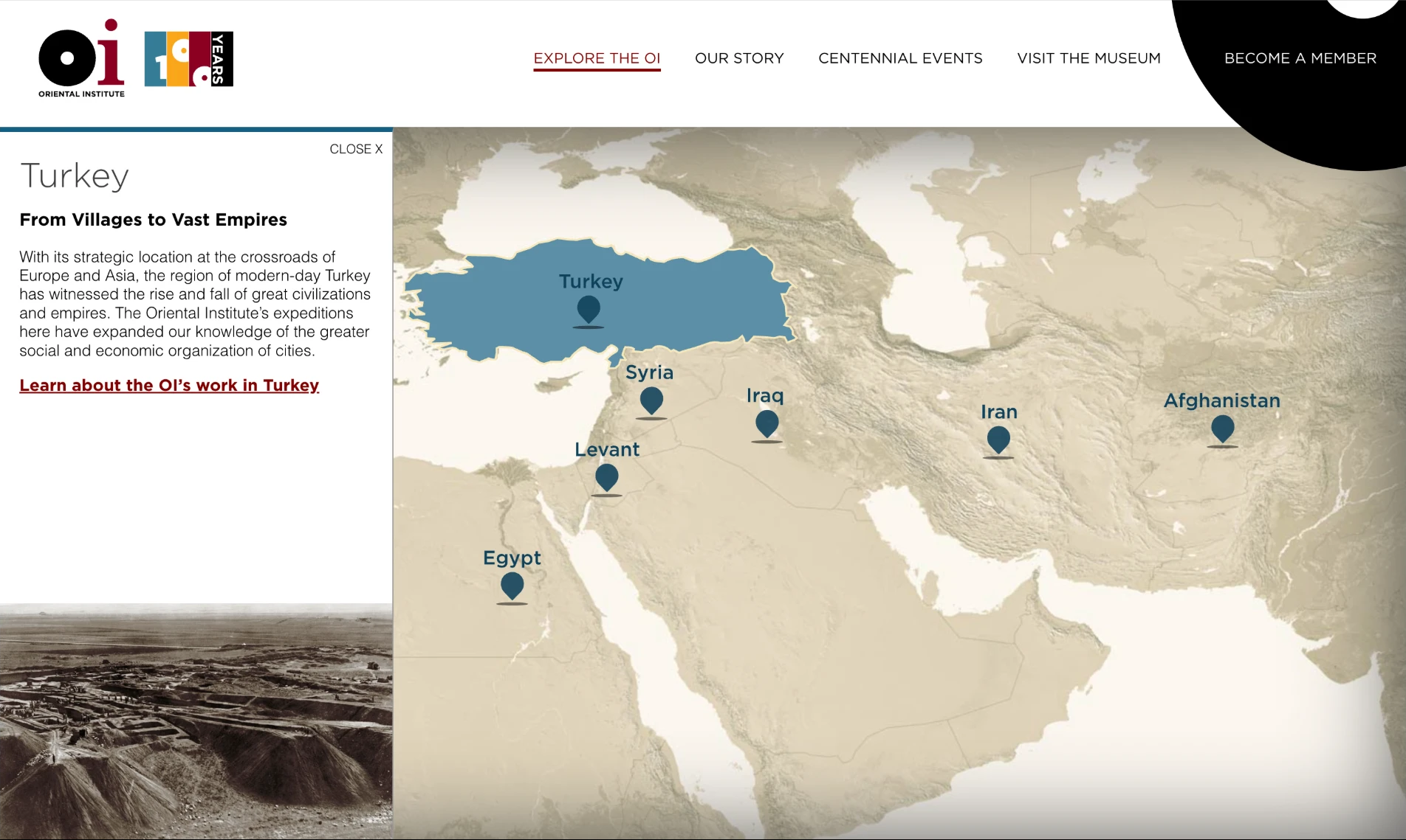
A map worth exploring
The map starts with a topographical image of the region. On top of it sits an SVG layer where I hand-traced each country’s region as its own clickable shape. Every shape has proper ARIA labeling, so the map works for screen-reader users too, not just people with a mouse. Each one links through to a dedicated page about the discoveries made there.
Those region pages each got their own PHP/Twig templates and Sass/JavaScript front ends, so every country could have its own character instead of a one-size-fits-all layout. The rest of the site uses Drupal Paragraphs, so editors can build pages out of modular pieces.
The site was retired around 2023, but you can still explore it on the Wayback Machine, and the map lives on as a CodePen demo.